


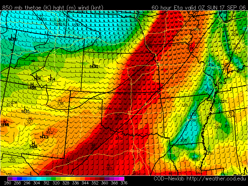
 For saturday I'm seeing two target areas for tornadoes. One is hopelessly far up into MN and northern IA and one is less certain in e KS but more obtainable from Denver. A few days ago Tom Dulong sent out a similar setup day in a past Oct tornado day that showed a number of brief touchdowns nearer the surface low in Wisconsin BUT a greater number of longer lived tornadoes in e KS. If the dryline forcing can overcome the stouter cap over e KS then we may get some good discrete supercells in the area south of Topeka, KS
When in doubt head south!


No comments:
Post a Comment